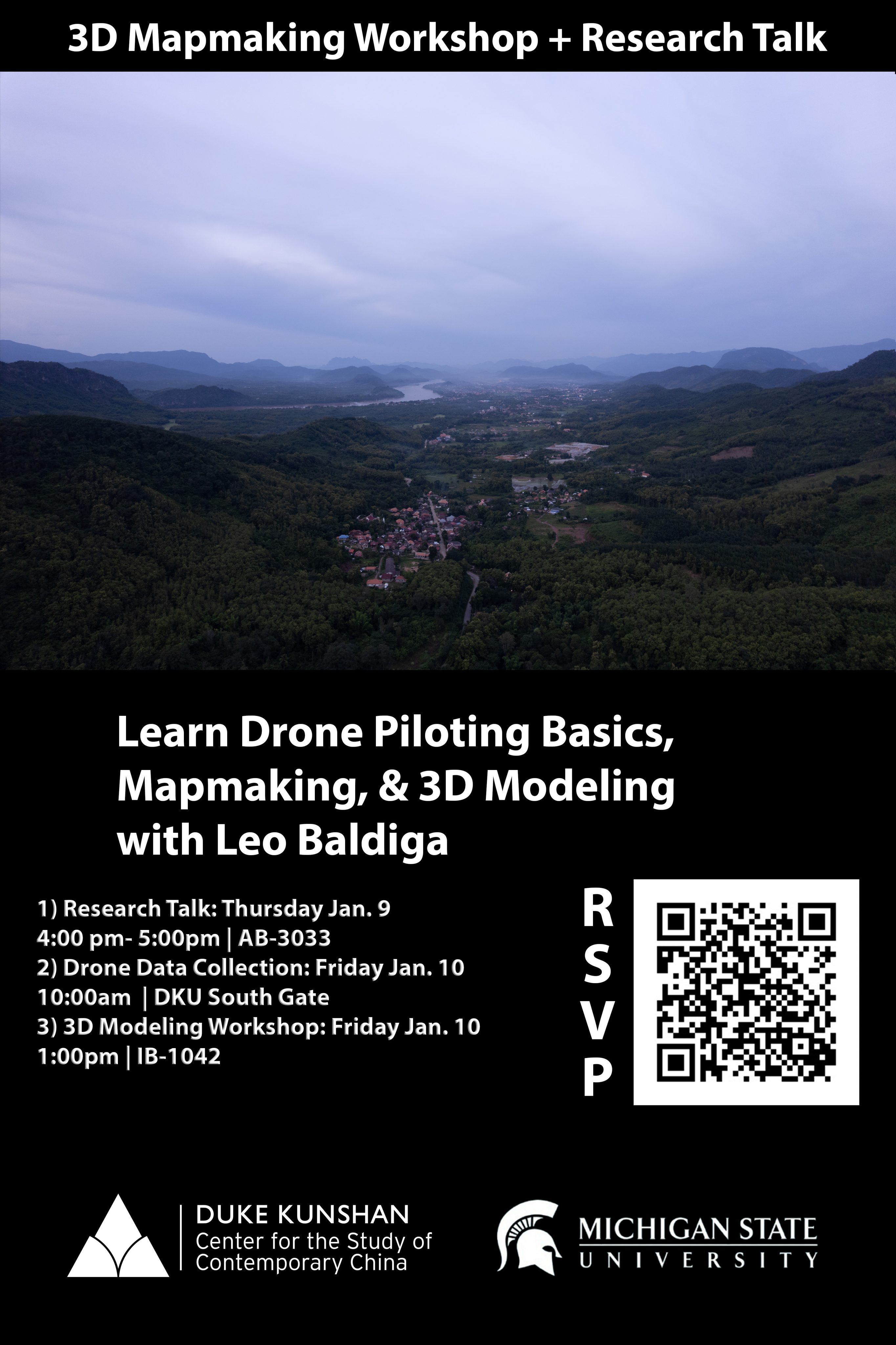
Join us for a series of events on 3D Mapmaking and learn the basics of Drone Piloting, Mapmaking, and 3D Modeling with Leo Baldiga!
Research Talk:
Countermapping the Mekong – Methods and Lessons Learned in Participatory Mapping
Thursday – January 9th | 4:00pm-5:00pm | AB-3033
Description: In the rapidly changing landscape of the Mekong region, participatory mapping has emerged as a powerful tool for empowering local communities and integrating diverse knowledge systems. In this talk, we will explore approaches to community-based cartography that challenge traditional top-down mapping practices. We’ll discuss both analog and digital mapping methods and explore how these tools can foster more equitable and sustainable resource management. The presentation will highlight key lessons learned and challenges in bridging scientific and community knowledge, navigating the politics of development, and translating maps into action. Join us to discover how countermapping is reshaping our understanding of the Mekong’s social and environmental landscape and to learn practical strategies for implementing participatory mapping in your own work.
——————————————————-
Drone Data Collection
Friday – January 10th | 10:00am | DKU South Gate
——————————————————-
3D Modeling Workshop:
Workshop on Drone Data Collection and Processing for Countermapping and the Digital Humanities
Friday – January 10th | 1:00pm | IB-1042 (DKU Media Lab)
Description: What is the function of a map? What does it mean to define and represent space for our own use? Is it strictly for navigating how we move through space, or is it way for us to define and determine how to manipulate, regulate, restrict, and govern the use of land and people within its borders? How do the ongoing legacies of colonialism inform the methods and narratives involved in the map making process?
This hands-on workshop will equip participants with the skills to harness the power of unoccupied aerial vehicles (UAVs) for innovative digital humanities projects. From mapping archaeological sites to documenting cultural landscapes, drones offer unprecedented opportunities to capture and analyze spatial data. This workshop will cover the fundamentals of drone data collection (flight planning and mission execution, photogrammetry, and structure-from-motion techniques), processing (image stitching and orthomosaic maps, point cloud creation and 3D modeling) and applications in the digital humanities. Whether you’re an archaeologist, journalist, documentarian, historian, or geographer, this workshop will provide you with the technical skills and creative inspiration to elevate your work using drone technology. Join us to explore the exciting intersection of aerial imaging and the digital humanities.
